Western US Daily Snow

By Alan Smith, Meteorologist Posted 1 year ago July 5, 2023
Drying Trend for Most, Storms Persist Near/East of Divide
Summary
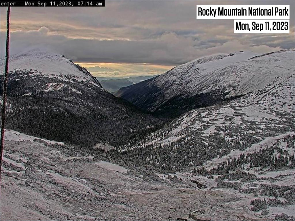
A northwest flow pattern will remain in place along & east of the Continental Divide this week, and these areas will be favored for thunderstorms from Wed to Sat. Severe t-storms are also possible along the eastern slopes of the Divide & adjacent plains in CO & WY. Further west, smoke from Canada will impact portions of the PNW, while the monsoon will remain absent across the Southwest.
Short Term Forecast

To read the rest of this Daily Snow, unlimited others, and enjoy 15+ other features, Upgrade to All-Access.
Start Free Trial
No credit card required
Already have an account?
Log In
Upgrade to All-Access and receive exclusive benefits:
- Compare Essential Tools
- Read Local Forecasters
- View High-Resolution 3D Maps
- Save Forecasts Anywhere
- Create Snow Alerts
- Current Location Forecast
- Add Widgets
- Climate Change Commitment
- Upgrade to All-Access
About Our Forecaster
Alan Smith
Meteorologist
Alan Smith received a B.S. in Meteorology from Metropolitan State University of Denver and has been working in the private sector since 2013. When he’s not watching the weather from the office, Alan loves to spend time outdoors skiing, hiking, and mountain biking, and of course keeping an eye on the sky for weather changes while recreating.
Free OpenSnow App